An international team of archaeologists and anthropologists has made a remarkable discovery by mapping over 4,000 irrigation canals near the ancient Sumerian city of Eridu, as reported by La Brújula Verde. Eridu, located along the Euphrates River, is regarded as the southernmost of the great Mesopotamian cities and is traditionally considered the world’s oldest city according to the Sumerian King List. The city was inhabited from the sixth through the first millennium B.C.
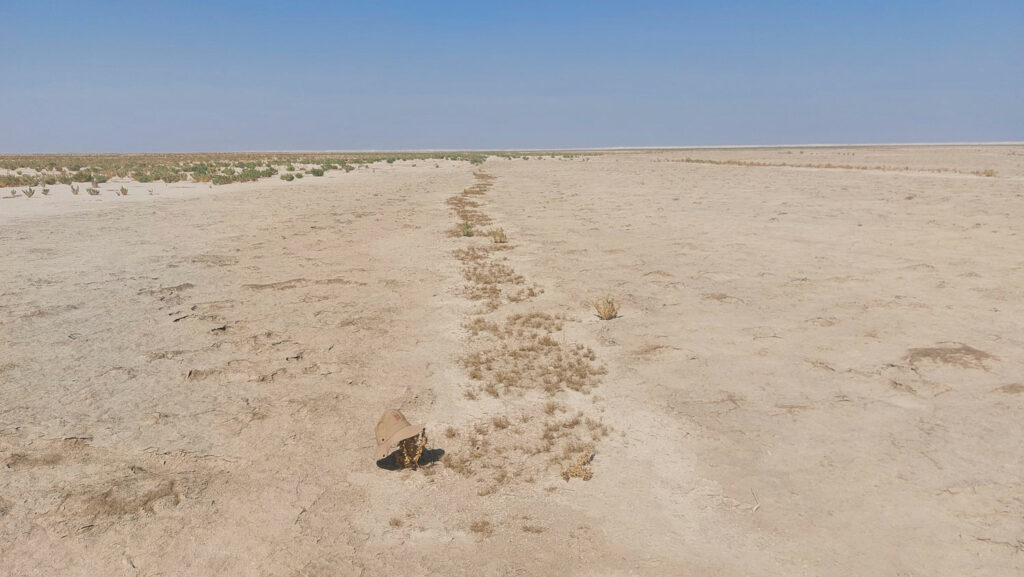
Like many ancient Mesopotamian civilizations, the people of Eridu relied heavily on the Euphrates River to sustain their society. They created an extensive network of irrigation canals to support agriculture, which researchers have meticulously mapped using geomorphological analysis, remote sensing, and satellite imagery. This network included around 200 primary canals, some stretching up to five and a half miles long, as well as over 4,000 smaller canals that provided essential water to the surrounding agricultural fields. Additionally, the team identified 700 farmsteads strategically placed around this intricate irrigation system, revealing a highly engineered and intensively farmed landscape.
However, during the first millennium B.C., the Euphrates River shifted its course, moving away from Eridu. This change in the river’s path ultimately led to the abandonment of the city.